Tafarn Tŷ Uchaf, Trefil
Introduction
The photograph on this page of Tafarn Tŷ Uchaf, Trefil by Jaggery as part of the Geograph project.
The Geograph project started in 2005 with the aim of publishing, organising and preserving representative images for every square kilometre of Great Britain, Ireland and the Isle of Man.

There are currently over 7.5m images from over 14,400 individuals and you can help contribute to the project by visiting https://www.geograph.org.uk
Tafarn Tŷ Uchaf, Trefil
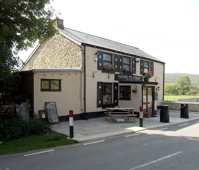
Image: © Jaggery Taken: 22 Aug 2013
The village pub is located alongside Trefil Road at about 410 metres (c 1,345 ft) above sea level. On the name board, the pub's English name Top House is in smaller text below its Welsh name Tafarn Tŷ Uchaf.
Images are licensed for reuse under creativecommons.org/licenses/by-sa/2.0
Image Location
Latitude
51.807693
Longitude
-3.278073