The verge of the A21 (Farnborough Way)
Introduction
The photograph on this page of The verge of the A21 (Farnborough Way) by Marathon as part of the Geograph project.
The Geograph project started in 2005 with the aim of publishing, organising and preserving representative images for every square kilometre of Great Britain, Ireland and the Isle of Man.

There are currently over 7.5m images from over 14,400 individuals and you can help contribute to the project by visiting https://www.geograph.org.uk
The verge of the A21 (Farnborough Way)
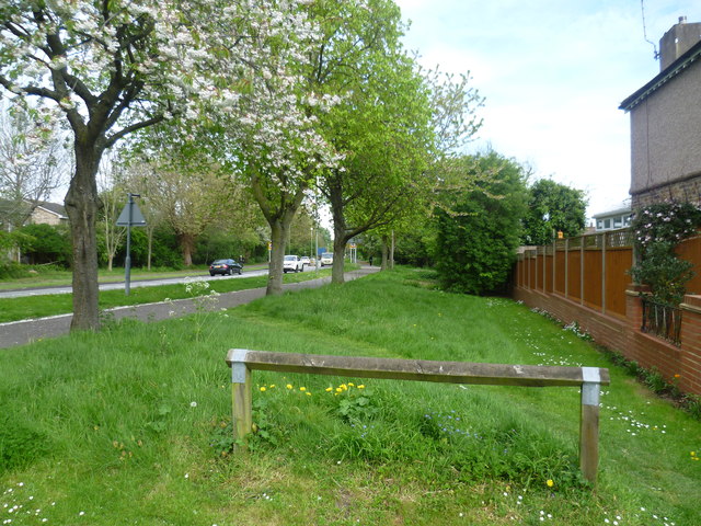
Image: © Marathon Taken: 23 Apr 2014
This is taken at the end of Orchard Road and looks in the direction of Sevenoaks.
Images are licensed for reuse under creativecommons.org/licenses/by-sa/2.0
Image Location
Latitude
51.360524
Longitude
0.066316