Construction on the site of the former Elizabethan pub
Introduction
The photograph on this page of Construction on the site of the former Elizabethan pub by Graham Robson as part of the Geograph project.
The Geograph project started in 2005 with the aim of publishing, organising and preserving representative images for every square kilometre of Great Britain, Ireland and the Isle of Man.

There are currently over 7.5m images from over 14,400 individuals and you can help contribute to the project by visiting https://www.geograph.org.uk
Construction on the site of the former Elizabethan pub
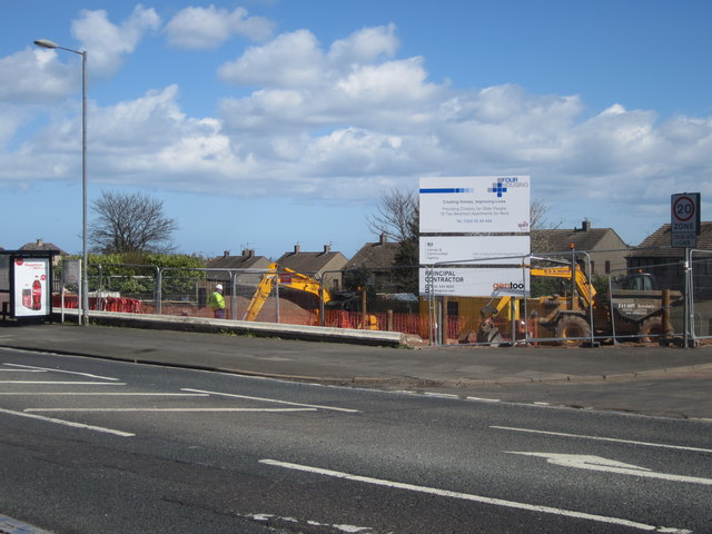
Image: © Graham Robson Taken: 17 Apr 2014
The Elizabethan pub has been closed for a number of years and at the start of 2014 was demolished to make way for a project to build 16 2 bedroom apartments.
Images are licensed for reuse under creativecommons.org/licenses/by-sa/2.0
Image Location
Latitude
55.779502
Longitude
-2.010497