Inward-sloping barrier at the entrance to cycle route 478 in Mountain Ash
Introduction
The photograph on this page of Inward-sloping barrier at the entrance to cycle route 478 in Mountain Ash by Jaggery as part of the Geograph project.
The Geograph project started in 2005 with the aim of publishing, organising and preserving representative images for every square kilometre of Great Britain, Ireland and the Isle of Man.

There are currently over 7.5m images from over 14,400 individuals and you can help contribute to the project by visiting https://www.geograph.org.uk
Inward-sloping barrier at the entrance to cycle route 478 in Mountain Ash
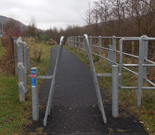
Image: © Jaggery Taken: 25 Jan 2014
The cycle route entrance is from New Road near this Welcome sign. http://www.geograph.org.uk/photo/3948196
Images are licensed for reuse under creativecommons.org/licenses/by-sa/2.0
Image Location
Latitude
51.685667
Longitude
-3.382114