Path to new housing
Introduction
The photograph on this page of Path to new housing by Lairich Rig as part of the Geograph project.
The Geograph project started in 2005 with the aim of publishing, organising and preserving representative images for every square kilometre of Great Britain, Ireland and the Isle of Man.

There are currently over 7.5m images from over 14,400 individuals and you can help contribute to the project by visiting https://www.geograph.org.uk
Path to new housing
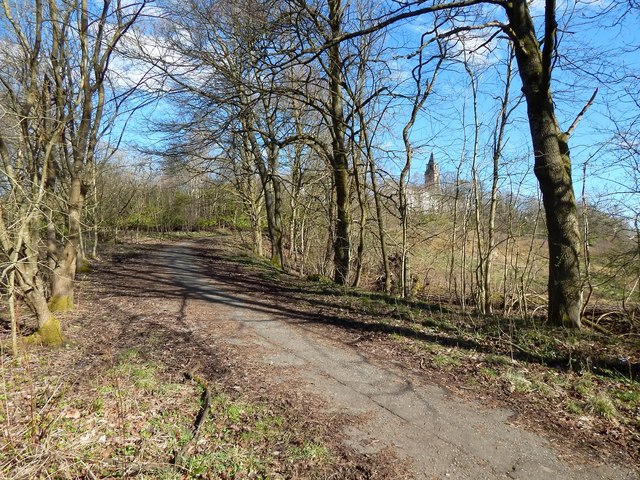
Image: © Lairich Rig Taken: 24 Mar 2014
The path leads to new housing that has been built near Leverndale Hospital: Image The present picture was taken from the foot of the path, on the cycle route beside the White Cart Water. The Image can be seen indistinctly through the trees.
Images are licensed for reuse under creativecommons.org/licenses/by-sa/2.0
Image Location
Latitude
55.834933
Longitude
-4.374448