Junction in Gilfach Goch
Introduction
The photograph on this page of Junction in Gilfach Goch by Jaggery as part of the Geograph project.
The Geograph project started in 2005 with the aim of publishing, organising and preserving representative images for every square kilometre of Great Britain, Ireland and the Isle of Man.

There are currently over 7.5m images from over 14,400 individuals and you can help contribute to the project by visiting https://www.geograph.org.uk
Junction in Gilfach Goch
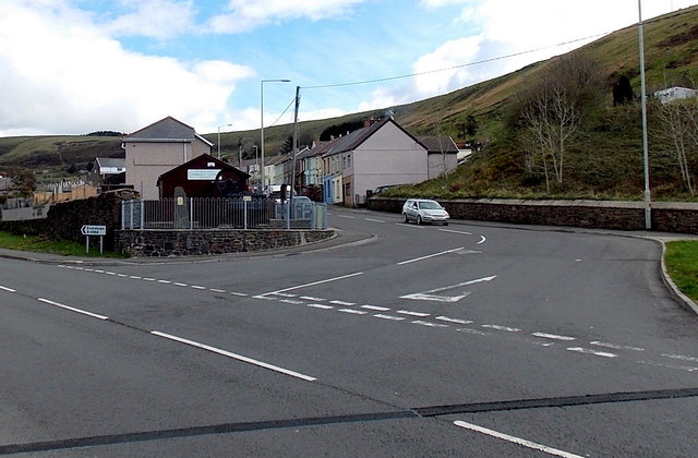
Image: © Jaggery Taken: 11 Apr 2014
Coronation Road on the left, High Street on the right. Both roads are the B4564, the route of which forms a loop ahead. The northern edge of the loop is about 1.4km (nearly a mile) away.
Images are licensed for reuse under creativecommons.org/licenses/by-sa/2.0
Image Location
Latitude
51.591304
Longitude
-3.473948