Rosshall Park: the river walk
Introduction
The photograph on this page of Rosshall Park: the river walk by Lairich Rig as part of the Geograph project.
The Geograph project started in 2005 with the aim of publishing, organising and preserving representative images for every square kilometre of Great Britain, Ireland and the Isle of Man.

There are currently over 7.5m images from over 14,400 individuals and you can help contribute to the project by visiting https://www.geograph.org.uk
Rosshall Park: the river walk
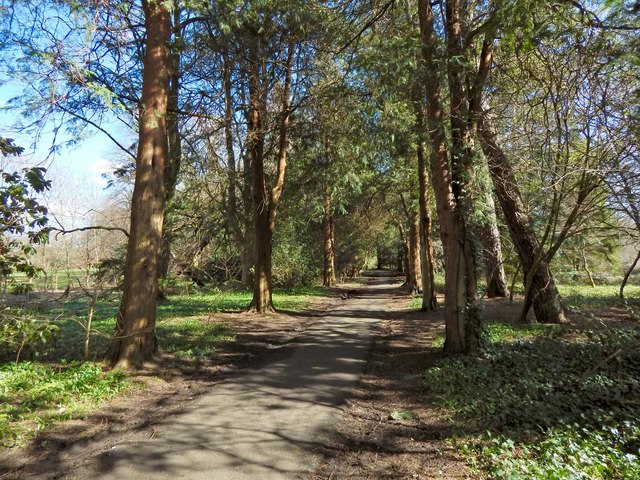
Image: © Lairich Rig Taken: 24 Mar 2014
This section of the path is close to the confluence of the White Cart Water and the Levern Water.
Images are licensed for reuse under creativecommons.org/licenses/by-sa/2.0
Image Location
Latitude
55.836866
Longitude
-4.362747