Cycle route at Howford Bridge
Introduction
The photograph on this page of Cycle route at Howford Bridge by Lairich Rig as part of the Geograph project.
The Geograph project started in 2005 with the aim of publishing, organising and preserving representative images for every square kilometre of Great Britain, Ireland and the Isle of Man.

There are currently over 7.5m images from over 14,400 individuals and you can help contribute to the project by visiting https://www.geograph.org.uk
Cycle route at Howford Bridge
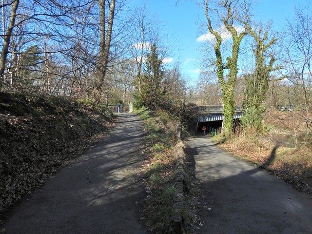
Image: © Lairich Rig Taken: 24 Mar 2014
The cycle path leads under the bridge and then turns sharply, heading up the path on the left, to join the road over the bridge, as described at Image See Image for a view of the bridge from the other side.
Images are licensed for reuse under creativecommons.org/licenses/by-sa/2.0
Image Location
Latitude
55.837251
Longitude
-4.366124