The Green at Farnborough Common
Introduction
The photograph on this page of The Green at Farnborough Common by Marathon as part of the Geograph project.
The Geograph project started in 2005 with the aim of publishing, organising and preserving representative images for every square kilometre of Great Britain, Ireland and the Isle of Man.

There are currently over 7.5m images from over 14,400 individuals and you can help contribute to the project by visiting https://www.geograph.org.uk
The Green at Farnborough Common
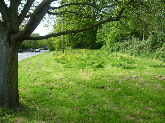
Image: © Marathon Taken: 23 Apr 2014
The A21 (Farnborough Common) is on the left and this small triangular remnant of Farnborough Common is just beyond Farnborough High Street. The main part of what is left of Farnborough Common is further up the A21 in the triangle formed by the A232 (Croydon Road) and Hollydale Drive.
Images are licensed for reuse under creativecommons.org/licenses/by-sa/2.0
Image Location
Latitude
51.361023
Longitude
0.063466