Walsall - Anchor House
Introduction
The photograph on this page of Walsall - Anchor House by Dave Bevis as part of the Geograph project.
The Geograph project started in 2005 with the aim of publishing, organising and preserving representative images for every square kilometre of Great Britain, Ireland and the Isle of Man.

There are currently over 7.5m images from over 14,400 individuals and you can help contribute to the project by visiting https://www.geograph.org.uk
Walsall - Anchor House
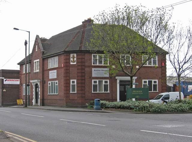
Image: © Dave Bevis Taken: 12 Apr 2014
On Bridgeman Street. Previously a pub called The Anchor, now the HQ of a work-wear company. See also http://www.historywebsite.co.uk/articles/Walsall/pubs/TownCentreN.htm .
Images are licensed for reuse under creativecommons.org/licenses/by-sa/2.0
Image Location


Leaflet Map data © OpenStreetMap
Latitude
52.583049
Longitude
-1.987855