Demolition rubble, Alcatel site
Introduction
The photograph on this page of Demolition rubble, Alcatel site by Stephen Craven as part of the Geograph project.
The Geograph project started in 2005 with the aim of publishing, organising and preserving representative images for every square kilometre of Great Britain, Ireland and the Isle of Man.

There are currently over 7.5m images from over 14,400 individuals and you can help contribute to the project by visiting https://www.geograph.org.uk
Demolition rubble, Alcatel site
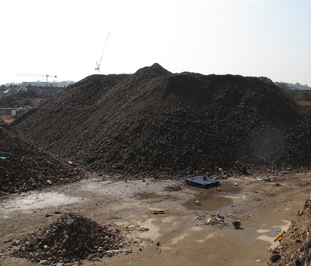
Image: © Stephen Craven Taken: 21 Apr 2014
The historic Alcatel cable works had been demolished, ready for the next phase of riverside housing development. This appears to be the remains of the white building seen at the left of Image
Images are licensed for reuse under creativecommons.org/licenses/by-sa/2.0
Image Location
Latitude
51.490225
Longitude
0.002743