Approaching Chappel from the southwest.
Introduction
The photograph on this page of Approaching Chappel from the southwest. by John Baker as part of the Geograph project.
The Geograph project started in 2005 with the aim of publishing, organising and preserving representative images for every square kilometre of Great Britain, Ireland and the Isle of Man.

There are currently over 7.5m images from over 14,400 individuals and you can help contribute to the project by visiting https://www.geograph.org.uk
Approaching Chappel from the southwest.
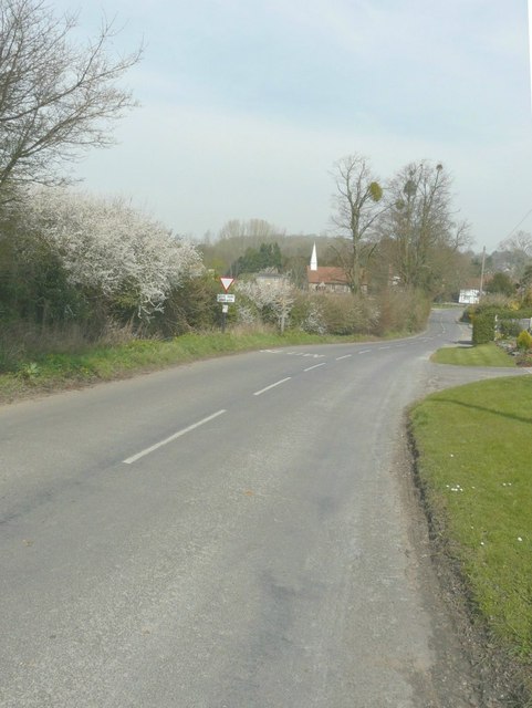
Image: © John Baker Taken: 29 Mar 2014
With the spire of St Barnabas’ church visible in the distance.
Images are licensed for reuse under creativecommons.org/licenses/by-sa/2.0
Image Location
Latitude
51.920901
Longitude
0.753249