Building site on the old Queensway Trading Estate, south Leamington
Introduction
The photograph on this page of Building site on the old Queensway Trading Estate, south Leamington by Robin Stott as part of the Geograph project.
The Geograph project started in 2005 with the aim of publishing, organising and preserving representative images for every square kilometre of Great Britain, Ireland and the Isle of Man.

There are currently over 7.5m images from over 14,400 individuals and you can help contribute to the project by visiting https://www.geograph.org.uk
Building site on the old Queensway Trading Estate, south Leamington
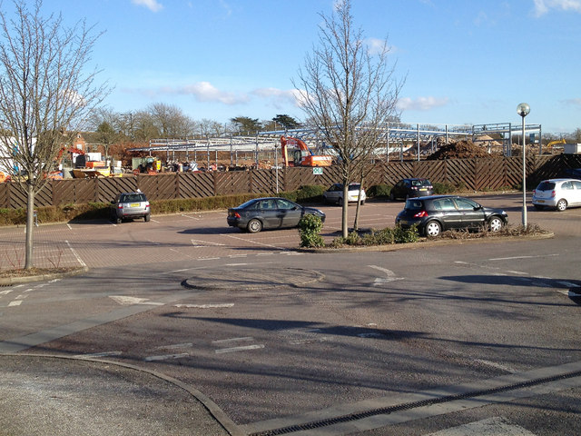
Image: © Robin Stott Taken: 17 Feb 2013
Under construction is an Aldi supermarket, shrewdly sited in a former council housing estate. The Queensway Trading Estate is being completely redeveloped. Queensway and its partner road Kingsway first appeared on an OS map of 1955. A gestation in the patriotic early 1950s is implied. The trading estate was probably laid out a little later although it doesn't appear on maps until 1972-4. With Queensway it runs right up to the town boundary. A Traffic Plan of the 1960s refers to established industry and businesses in the area. The view is across the car park of the two-store Shires Gate retail park.
Images are licensed for reuse under creativecommons.org/licenses/by-sa/2.0
Image Location
Latitude
52.28029
Longitude
-1.545415