View east from the path up to Bushblades
Introduction
The photograph on this page of View east from the path up to Bushblades by Robert Graham as part of the Geograph project.
The Geograph project started in 2005 with the aim of publishing, organising and preserving representative images for every square kilometre of Great Britain, Ireland and the Isle of Man.

There are currently over 7.5m images from over 14,400 individuals and you can help contribute to the project by visiting https://www.geograph.org.uk
View east from the path up to Bushblades
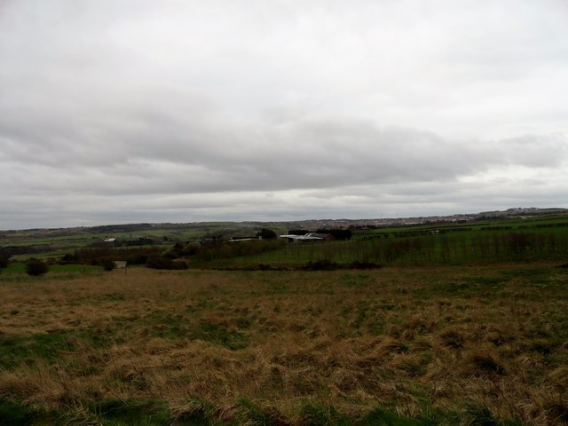
Image: © Robert Graham Taken: 9 Apr 2014
The farm in the middle distance is Wyndways, a modern establishment built in the late 20th century. It occupies the site of a former colliery, The North Pit, which closed in the 1960's. I suppose this made a good site for a new farm, as there was a ready made access road and services.
Images are licensed for reuse under creativecommons.org/licenses/by-sa/2.0
Image Location
Latitude
54.879306
Longitude
-1.737977