Lyme Brook
Introduction
The photograph on this page of Lyme Brook by Steve Lewin as part of the Geograph project.
The Geograph project started in 2005 with the aim of publishing, organising and preserving representative images for every square kilometre of Great Britain, Ireland and the Isle of Man.

There are currently over 7.5m images from over 14,400 individuals and you can help contribute to the project by visiting https://www.geograph.org.uk
Lyme Brook
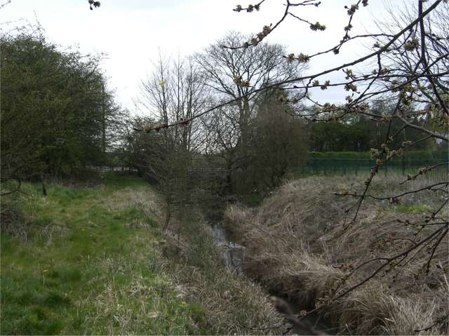
Image: © Steve Lewin Taken: 9 Apr 2007
One of the many streams known locally as Lyme Brook disappearing under the B5368 never to be seen again.
Images are licensed for reuse under creativecommons.org/licenses/by-sa/2.0
Image Location
Latitude
53.020225
Longitude
-2.24444