Groes Road, Rogerstone, Newport
Introduction
The photograph on this page of Groes Road, Rogerstone, Newport by Jaggery as part of the Geograph project.
The Geograph project started in 2005 with the aim of publishing, organising and preserving representative images for every square kilometre of Great Britain, Ireland and the Isle of Man.

There are currently over 7.5m images from over 14,400 individuals and you can help contribute to the project by visiting https://www.geograph.org.uk
Groes Road, Rogerstone, Newport
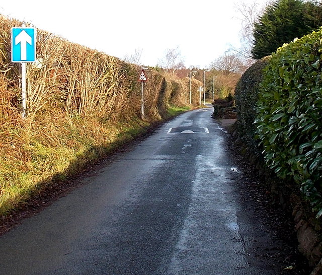
Image: © Jaggery Taken: 23 Jan 2014
Formerly a country road with few houses nearby, Groes Road now connects Ruskin Avenue behind the camera with Bala Drive ahead. There are no pavements here. A 20mph speed is in force and traffic is one way, away from the camera.
Images are licensed for reuse under creativecommons.org/licenses/by-sa/2.0
Image Location


Leaflet Map data © OpenStreetMap
Latitude
51.596943
Longitude
-3.049954