Kincorth green space
Introduction
The photograph on this page of Kincorth green space by Bill Harrison as part of the Geograph project.
The Geograph project started in 2005 with the aim of publishing, organising and preserving representative images for every square kilometre of Great Britain, Ireland and the Isle of Man.

There are currently over 7.5m images from over 14,400 individuals and you can help contribute to the project by visiting https://www.geograph.org.uk
Kincorth green space
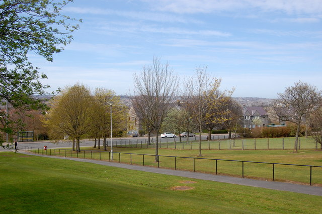
Image: © Bill Harrison Taken: 19 Apr 2014
Kincorth council estate was laid out in the 1930s with lavish amounts of green space and must have been truly visionary at the time.
Images are licensed for reuse under creativecommons.org/licenses/by-sa/2.0
Image Location
Latitude
57.121305
Longitude
-2.112448