St Ann's Road, Malvern
Introduction
The photograph on this page of St Ann's Road, Malvern by Jaggery as part of the Geograph project.
The Geograph project started in 2005 with the aim of publishing, organising and preserving representative images for every square kilometre of Great Britain, Ireland and the Isle of Man.

There are currently over 7.5m images from over 14,400 individuals and you can help contribute to the project by visiting https://www.geograph.org.uk
St Ann's Road, Malvern
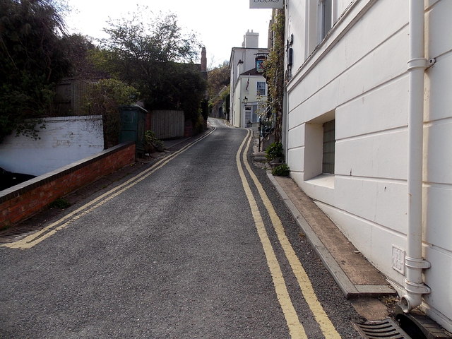
Image: © Jaggery Taken: 5 May 2013
St Ann's Road climbs away from the corner of the A449 Worcester Road, towards St Ann's Knoll in the Malvern Hills. The Red Lion http://www.geograph.org.uk/photo/3933430 is ahead on the right.
Images are licensed for reuse under creativecommons.org/licenses/by-sa/2.0
Image Location
Latitude
52.112038
Longitude
-2.331141