Catherine Street, Oxford (2)
Introduction
The photograph on this page of Catherine Street, Oxford (2) by Richard Vince as part of the Geograph project.
The Geograph project started in 2005 with the aim of publishing, organising and preserving representative images for every square kilometre of Great Britain, Ireland and the Isle of Man.

There are currently over 7.5m images from over 14,400 individuals and you can help contribute to the project by visiting https://www.geograph.org.uk
Catherine Street, Oxford (2)
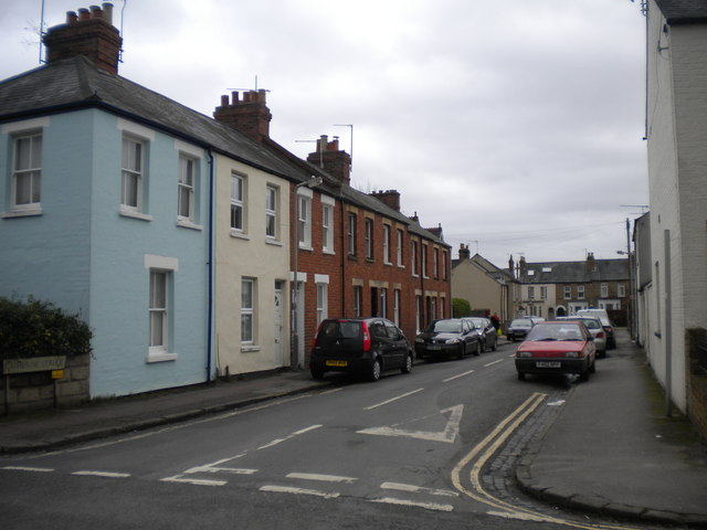
Image: © Richard Vince Taken: 25 Jan 2014
Seen from Charles Street. The terraced houses on the left are markedly plainer than most in this part of Oxford, in particular lacking bay windows; they also differ from the norm hereabouts in being constructed from red bricks.
Images are licensed for reuse under creativecommons.org/licenses/by-sa/2.0
Image Location
Latitude
51.740927
Longitude
-1.232367