Dock Park Bandstand
Introduction
The photograph on this page of Dock Park Bandstand by Hugh Close as part of the Geograph project.
The Geograph project started in 2005 with the aim of publishing, organising and preserving representative images for every square kilometre of Great Britain, Ireland and the Isle of Man.

There are currently over 7.5m images from over 14,400 individuals and you can help contribute to the project by visiting https://www.geograph.org.uk
Dock Park Bandstand
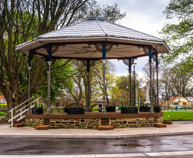
Image: © Hugh Close Taken: 13 Apr 2014
After a period of dereliction the bandstand has been refurburbished as part of a general facelift for the park
Images are licensed for reuse under creativecommons.org/licenses/by-sa/2.0
Image Location
Latitude
55.063082
Longitude
-3.607056