Arkwright Walk
Introduction
The photograph on this page of Arkwright Walk by John Sutton as part of the Geograph project.
The Geograph project started in 2005 with the aim of publishing, organising and preserving representative images for every square kilometre of Great Britain, Ireland and the Isle of Man.

There are currently over 7.5m images from over 14,400 individuals and you can help contribute to the project by visiting https://www.geograph.org.uk
Arkwright Walk
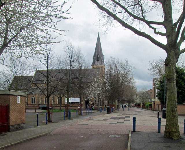
Image: © John Sutton Taken: 7 Apr 2014
Until the 1970s, Arkwright Street was one of the two main routes to Trent Bridge, Bridgford, Loughborough and Melton (the other was London Road). It was lined with shops and crowded with buses and trolleybuses. St Saviour's Church is all that remains of the street I remember from my schooldays.
Images are licensed for reuse under creativecommons.org/licenses/by-sa/2.0
Image Location
Latitude
52.941877
Longitude
-1.142689