The Glenburn Road South, Dunmurry
Introduction
The photograph on this page of The Glenburn Road South, Dunmurry by Albert Bridge as part of the Geograph project.
The Geograph project started in 2005 with the aim of publishing, organising and preserving representative images for every square kilometre of Great Britain, Ireland and the Isle of Man.

There are currently over 7.5m images from over 14,400 individuals and you can help contribute to the project by visiting https://www.geograph.org.uk
The Glenburn Road South, Dunmurry
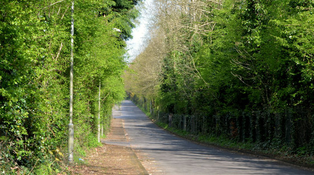
Image: © Albert Bridge Taken: 19 Apr 2014
A cul-de-sac running south from the Glenburn Road (background). It now serves only a waste water treatment works and a bible college. The M1 is hidden by the trees on the right.
Images are licensed for reuse under creativecommons.org/licenses/by-sa/2.0
Image Location
Latitude
54.547481
Longitude
-5.995657