Boundary Marker, Woodthorpe Drive Top
Introduction
The photograph on this page of Boundary Marker, Woodthorpe Drive Top by Alan Murray-Rust as part of the Geograph project.
The Geograph project started in 2005 with the aim of publishing, organising and preserving representative images for every square kilometre of Great Britain, Ireland and the Isle of Man.

There are currently over 7.5m images from over 14,400 individuals and you can help contribute to the project by visiting https://www.geograph.org.uk
Boundary Marker, Woodthorpe Drive Top
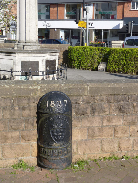
Image: © Alan Murray-Rust Taken: 16 Apr 2014
This marker is not quite in its original position as the junction between Woodthorpe Drive and Plains Road has been remodelled. Listed Grade II. See also http://www.geograph.org.uk/photo/3938698
Images are licensed for reuse under creativecommons.org/licenses/by-sa/2.0
Image Location
Latitude
52.983358
Longitude
-1.123399