Bishop's Lydeard Station, WSR 2001
Introduction
The photograph on this page of Bishop's Lydeard Station, WSR 2001 by Ben Brooksbank as part of the Geograph project.
The Geograph project started in 2005 with the aim of publishing, organising and preserving representative images for every square kilometre of Great Britain, Ireland and the Isle of Man.

There are currently over 7.5m images from over 14,400 individuals and you can help contribute to the project by visiting https://www.geograph.org.uk
Bishop's Lydeard Station, WSR 2001
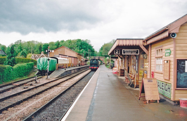
Image: © Ben Brooksbank Taken: 16 May 2001
View SSE, towards Norton Fitzwarren and Taunton. (See also Image] and Image]).
Images are licensed for reuse under creativecommons.org/licenses/by-sa/2.0
Image Location


Leaflet Map data © OpenStreetMap
Latitude
51.05441
Longitude
-3.194725