Start of a footpath from St Brides Netherwent to Magor via Salisbury Farm
Introduction
The photograph on this page of Start of a footpath from St Brides Netherwent to Magor via Salisbury Farm by Jaggery as part of the Geograph project.
The Geograph project started in 2005 with the aim of publishing, organising and preserving representative images for every square kilometre of Great Britain, Ireland and the Isle of Man.

There are currently over 7.5m images from over 14,400 individuals and you can help contribute to the project by visiting https://www.geograph.org.uk
Start of a footpath from St Brides Netherwent to Magor via Salisbury Farm
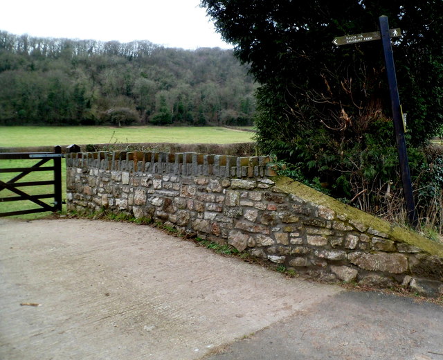
Image: © Jaggery Taken: 16 Feb 2012
Heading for Magor along St Brides Road, I considered using this path, but didn't do so, feeling uneasy about a route through a farm even though the sign on the right shows public footpath.
Images are licensed for reuse under creativecommons.org/licenses/by-sa/2.0
Image Location
Latitude
51.602958
Longitude
-2.826141