Illegible road sign in Beaufort
Introduction
The photograph on this page of Illegible road sign in Beaufort by Jaggery as part of the Geograph project.
The Geograph project started in 2005 with the aim of publishing, organising and preserving representative images for every square kilometre of Great Britain, Ireland and the Isle of Man.

There are currently over 7.5m images from over 14,400 individuals and you can help contribute to the project by visiting https://www.geograph.org.uk
Illegible road sign in Beaufort
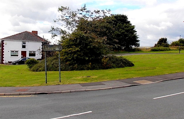
Image: © Jaggery Taken: 10 Sep 2013
Located on the corner of the A4047 and the B4560 Llangynidr Road. Only the 17 is clearly visible on a sign that shows 5 (miles) to Llangynidr and 17 to Brecon.
Images are licensed for reuse under creativecommons.org/licenses/by-sa/2.0
Image Location
Latitude
51.797654
Longitude
-3.207021