Boundary monolith, Beaufort
Introduction
The photograph on this page of Boundary monolith, Beaufort by Jaggery as part of the Geograph project.
The Geograph project started in 2005 with the aim of publishing, organising and preserving representative images for every square kilometre of Great Britain, Ireland and the Isle of Man.

There are currently over 7.5m images from over 14,400 individuals and you can help contribute to the project by visiting https://www.geograph.org.uk
Boundary monolith, Beaufort
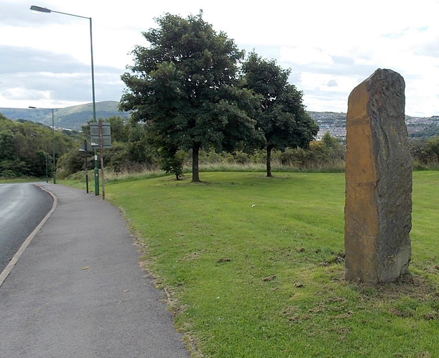
Image: © Jaggery Taken: 10 Sep 2013
Locaed near Frost Road. The Beaufort boundary sign http://www.geograph.org.uk/photo/3935321 is on the other side of the rock.
Images are licensed for reuse under creativecommons.org/licenses/by-sa/2.0
Image Location
Latitude
51.796089
Longitude
-3.201759