Town Street, Hawksworth
Introduction
The photograph on this page of Town Street, Hawksworth by Alan Murray-Rust as part of the Geograph project.
The Geograph project started in 2005 with the aim of publishing, organising and preserving representative images for every square kilometre of Great Britain, Ireland and the Isle of Man.

There are currently over 7.5m images from over 14,400 individuals and you can help contribute to the project by visiting https://www.geograph.org.uk
Town Street, Hawksworth
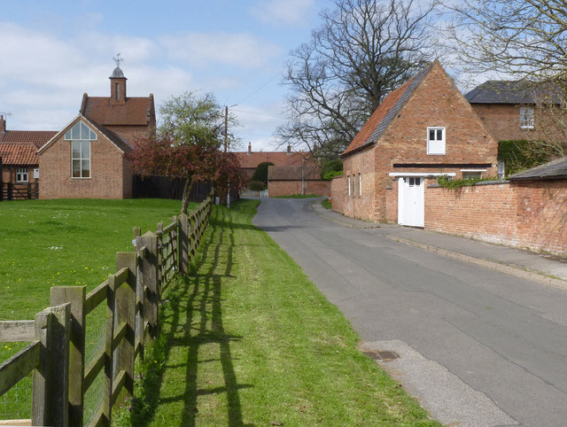
Image: © Alan Murray-Rust Taken: 13 Apr 2014
The building to the left with the bellcote is the former stable range of Top Farm, built as a model farm in 1837. Now converted to dwellings, Listed Grade II.
Images are licensed for reuse under creativecommons.org/licenses/by-sa/2.0
Image Location


Leaflet Map data © OpenStreetMap
Latitude
52.982663
Longitude
-0.880028