School Lane, Upton-upon-Severn
Introduction
The photograph on this page of School Lane, Upton-upon-Severn by Jaggery as part of the Geograph project.
The Geograph project started in 2005 with the aim of publishing, organising and preserving representative images for every square kilometre of Great Britain, Ireland and the Isle of Man.

There are currently over 7.5m images from over 14,400 individuals and you can help contribute to the project by visiting https://www.geograph.org.uk
School Lane, Upton-upon-Severn
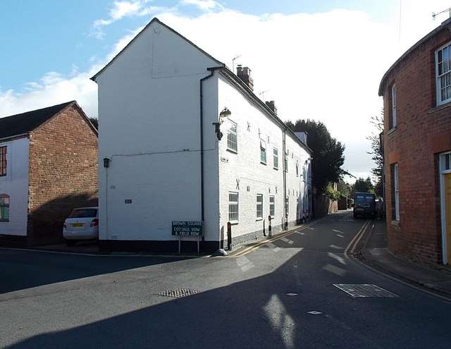
Image: © Jaggery Taken: 3 Nov 2013
The nameplate on the white row of buildings shows School Lane. The name sign at street level shows Brown Square Cottage Row & Field Row.
Images are licensed for reuse under creativecommons.org/licenses/by-sa/2.0
Image Location
Latitude
52.062497
Longitude
-2.216708