Road to Dumbraxhill
Introduction
The photograph on this page of Road to Dumbraxhill by Alan O'Dowd as part of the Geograph project.
The Geograph project started in 2005 with the aim of publishing, organising and preserving representative images for every square kilometre of Great Britain, Ireland and the Isle of Man.

There are currently over 7.5m images from over 14,400 individuals and you can help contribute to the project by visiting https://www.geograph.org.uk
Road to Dumbraxhill
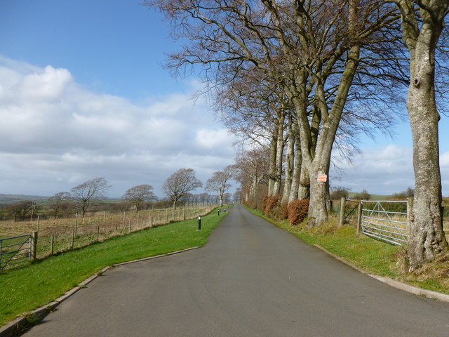
Image: © Alan O'Dowd Taken: 12 Apr 2014
A tree-lined road marked with 'Private Road' signs, which (presuming the private designation is correct) under Scottish access law means it can be walked on, but not cycled or driven on without permission.
Images are licensed for reuse under creativecommons.org/licenses/by-sa/2.0
Image Location


Leaflet Map data © OpenStreetMap
Latitude
55.636841
Longitude
-3.86481