Valley houses, Gilfach Goch
Introduction
The photograph on this page of Valley houses, Gilfach Goch by Jaggery as part of the Geograph project.
The Geograph project started in 2005 with the aim of publishing, organising and preserving representative images for every square kilometre of Great Britain, Ireland and the Isle of Man.

There are currently over 7.5m images from over 14,400 individuals and you can help contribute to the project by visiting https://www.geograph.org.uk
Valley houses, Gilfach Goch
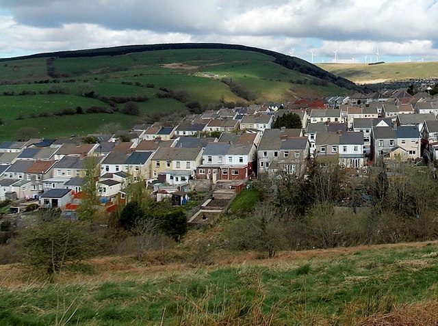
Image: © Jaggery Taken: 11 Apr 2014
A small part of Gilfach Goch viewed from the A4093 near the SW boundary of the village. Wind turbines line a distant hilltop on the right.
Images are licensed for reuse under creativecommons.org/licenses/by-sa/2.0
Image Location
Latitude
51.585176
Longitude
-3.475049