Alverstone Avenue
Introduction
The photograph on this page of Alverstone Avenue by Martin Addison as part of the Geograph project.
The Geograph project started in 2005 with the aim of publishing, organising and preserving representative images for every square kilometre of Great Britain, Ireland and the Isle of Man.

There are currently over 7.5m images from over 14,400 individuals and you can help contribute to the project by visiting https://www.geograph.org.uk
Alverstone Avenue
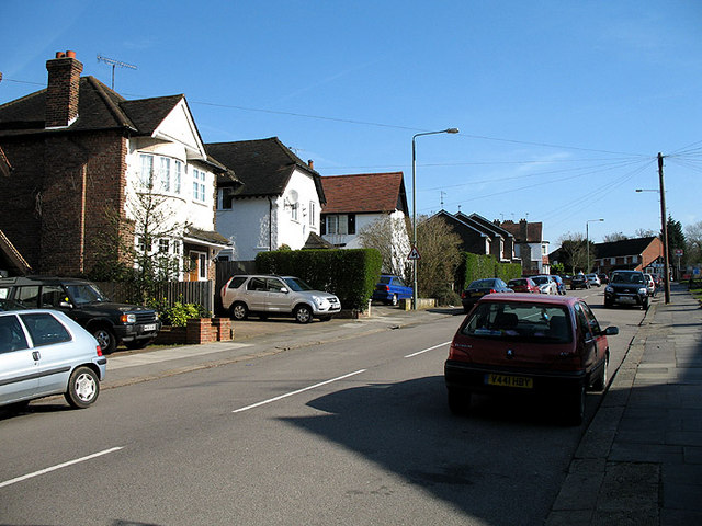
Image: © Martin Addison Taken: 6 Apr 2007
View of the avenue as it passes Oakleigh Park station, the entrance to which is visible on the right. Mixed styles of housing are visible. The central house of the nearest three carries the name 'La Maison Blanche'.
Images are licensed for reuse under creativecommons.org/licenses/by-sa/2.0
Image Location
Latitude
51.638658
Longitude
-0.165736