The Chesterfield Canal near Shireoaks
Introduction
The photograph on this page of The Chesterfield Canal near Shireoaks by Jonathan Clitheroe as part of the Geograph project.
The Geograph project started in 2005 with the aim of publishing, organising and preserving representative images for every square kilometre of Great Britain, Ireland and the Isle of Man.

There are currently over 7.5m images from over 14,400 individuals and you can help contribute to the project by visiting https://www.geograph.org.uk
The Chesterfield Canal near Shireoaks
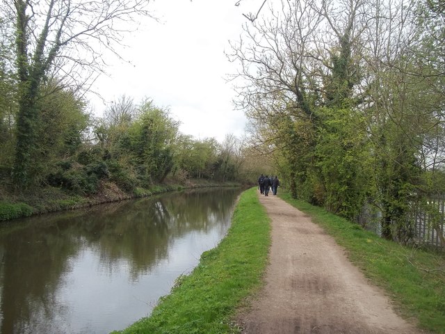
Image: © Jonathan Clitheroe Taken: 10 Apr 2014
Pictured here on a mild and occasionally bright Thursday in mid-April.
Images are licensed for reuse under creativecommons.org/licenses/by-sa/2.0
Image Location
Latitude
53.325122
Longitude
-1.172864