Kiltryknock
Introduction
The photograph on this page of Kiltryknock by Anne Burgess as part of the Geograph project.
The Geograph project started in 2005 with the aim of publishing, organising and preserving representative images for every square kilometre of Great Britain, Ireland and the Isle of Man.

There are currently over 7.5m images from over 14,400 individuals and you can help contribute to the project by visiting https://www.geograph.org.uk
Kiltryknock
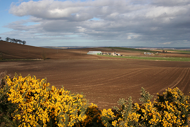
Image: © Anne Burgess Taken: 8 Apr 2014
Ploughed land near Drywells, looking east towards Kiltryknock. The whins are in bloom unusually early this year.
Images are licensed for reuse under creativecommons.org/licenses/by-sa/2.0
Image Location
Latitude
57.596857
Longitude
-2.573151