Rosy Burn
Introduction
The photograph on this page of Rosy Burn by Anne Burgess as part of the Geograph project.
The Geograph project started in 2005 with the aim of publishing, organising and preserving representative images for every square kilometre of Great Britain, Ireland and the Isle of Man.

There are currently over 7.5m images from over 14,400 individuals and you can help contribute to the project by visiting https://www.geograph.org.uk
Rosy Burn
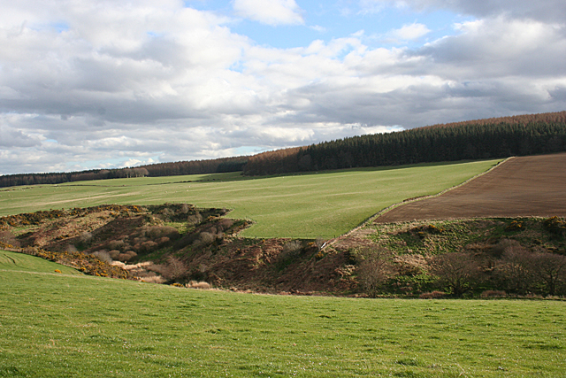
Image: © Anne Burgess Taken: 8 Apr 2014
The rosy Burn has cut down into the glacial deposits that mantle the land her, producing a sharp contrast between the cultivated fields and the rough vegetation of the den. Brownside Wood covers the top of the slope.
Images are licensed for reuse under creativecommons.org/licenses/by-sa/2.0
Image Location
Latitude
57.591129
Longitude
-2.548304