Fields near Teigncombe
Introduction
The photograph on this page of Fields near Teigncombe by Derek Harper as part of the Geograph project.
The Geograph project started in 2005 with the aim of publishing, organising and preserving representative images for every square kilometre of Great Britain, Ireland and the Isle of Man.

There are currently over 7.5m images from over 14,400 individuals and you can help contribute to the project by visiting https://www.geograph.org.uk
Fields near Teigncombe
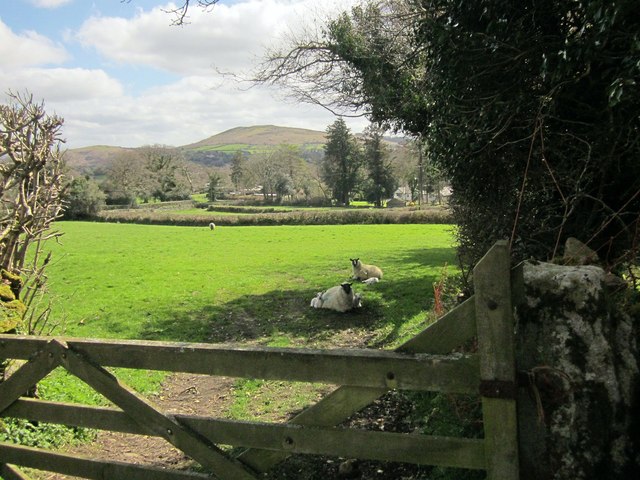
Image: © Derek Harper Taken: 9 Apr 2014
From a bend in the lane from Teigncombe. The Two Moors Way passes this gateway. Meldon Hill rises in the distance.
Images are licensed for reuse under creativecommons.org/licenses/by-sa/2.0
Image Location
Latitude
50.668611
Longitude
-3.877322