Path from Mountblow Road
Introduction
The photograph on this page of Path from Mountblow Road by Lairich Rig as part of the Geograph project.
The Geograph project started in 2005 with the aim of publishing, organising and preserving representative images for every square kilometre of Great Britain, Ireland and the Isle of Man.

There are currently over 7.5m images from over 14,400 individuals and you can help contribute to the project by visiting https://www.geograph.org.uk
Path from Mountblow Road
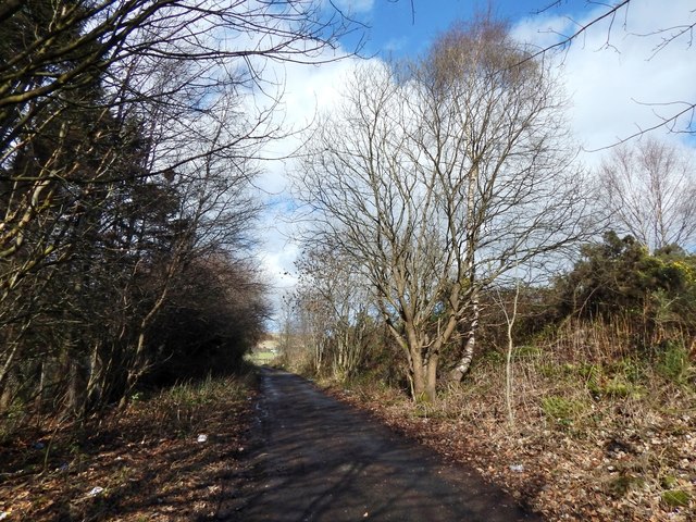
Image: © Lairich Rig Taken: 10 Mar 2014
See Image for a view in the opposite direction from the other end of the path. About 90 metres ahead, this path, heading north, crosses the Thomas Wood Path; there is a signpost at the junction.
Images are licensed for reuse under creativecommons.org/licenses/by-sa/2.0
Image Location
Latitude
55.925715
Longitude
-4.433946