Converted Oasthouse, Conghurst Farm
Introduction
The photograph on this page of Converted Oasthouse, Conghurst Farm by Robin Webster as part of the Geograph project.
The Geograph project started in 2005 with the aim of publishing, organising and preserving representative images for every square kilometre of Great Britain, Ireland and the Isle of Man.

There are currently over 7.5m images from over 14,400 individuals and you can help contribute to the project by visiting https://www.geograph.org.uk
Converted Oasthouse, Conghurst Farm
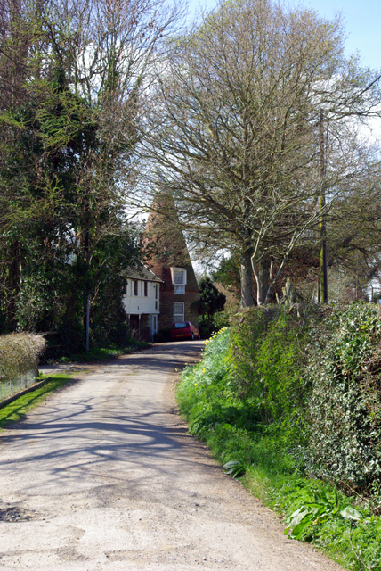
Image: © Robin Webster Taken: 7 Apr 2007
One of a few residences on this farm site, which has some further rebuilding in hand.
Images are licensed for reuse under creativecommons.org/licenses/by-sa/2.0
Image Location


Leaflet Map data © OpenStreetMap
Latitude
51.025968
Longitude
0.520308