Flood Defence Work
Introduction
The photograph on this page of Flood Defence Work by Anne Burgess as part of the Geograph project.
The Geograph project started in 2005 with the aim of publishing, organising and preserving representative images for every square kilometre of Great Britain, Ireland and the Isle of Man.

There are currently over 7.5m images from over 14,400 individuals and you can help contribute to the project by visiting https://www.geograph.org.uk
Flood Defence Work
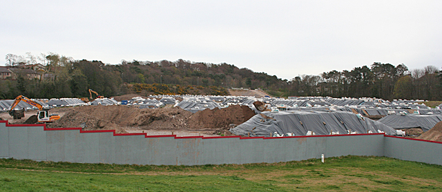
Image: © Anne Burgess Taken: 7 Apr 2014
I am a little puzzled by this. It is shown as a playing field on the map, but it is now full of heaps of earth and sand. It is part of the work associated with the flood defence project, but I have yet to learn how it fits into the grand scheme of things.
Images are licensed for reuse under creativecommons.org/licenses/by-sa/2.0
Image Location
Latitude
57.655097
Longitude
-3.306206