Cwmneol Place, Cwmaman
Introduction
The photograph on this page of Cwmneol Place, Cwmaman by Jaggery as part of the Geograph project.
The Geograph project started in 2005 with the aim of publishing, organising and preserving representative images for every square kilometre of Great Britain, Ireland and the Isle of Man.

There are currently over 7.5m images from over 14,400 individuals and you can help contribute to the project by visiting https://www.geograph.org.uk
Cwmneol Place, Cwmaman
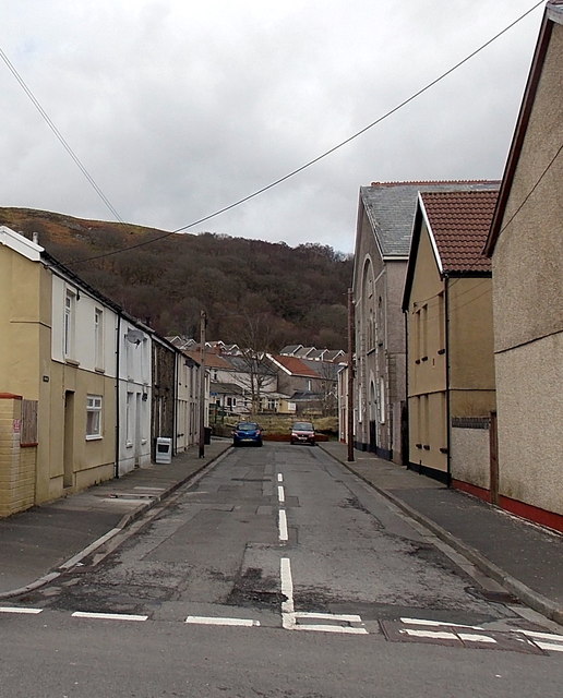
Image: © Jaggery Taken: 22 Feb 2014
Looking north across Fforchaman Road. The tallest building on the right is the former Seion Baptist chapel. http://www.geograph.org.uk/photo/3921352
Images are licensed for reuse under creativecommons.org/licenses/by-sa/2.0
Image Location
Latitude
51.685925
Longitude
-3.44288