Taunton Deane District : Woodland Path
Introduction
The photograph on this page of Taunton Deane District : Woodland Path by Lewis Clarke as part of the Geograph project.
The Geograph project started in 2005 with the aim of publishing, organising and preserving representative images for every square kilometre of Great Britain, Ireland and the Isle of Man.

There are currently over 7.5m images from over 14,400 individuals and you can help contribute to the project by visiting https://www.geograph.org.uk
Taunton Deane District : Woodland Path
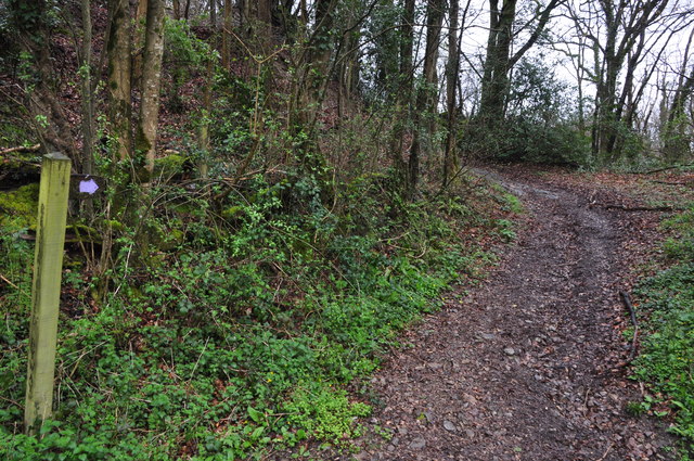
Image: © Lewis Clarke Taken: 6 Apr 2014
A path heading up through Tone Copse.
Images are licensed for reuse under creativecommons.org/licenses/by-sa/2.0
Image Location
Latitude
50.993236
Longitude
-3.345764