Boundary marker, Broadgate
Introduction
The photograph on this page of Boundary marker, Broadgate by Alan Murray-Rust as part of the Geograph project.
The Geograph project started in 2005 with the aim of publishing, organising and preserving representative images for every square kilometre of Great Britain, Ireland and the Isle of Man.

There are currently over 7.5m images from over 14,400 individuals and you can help contribute to the project by visiting https://www.geograph.org.uk
Boundary marker, Broadgate
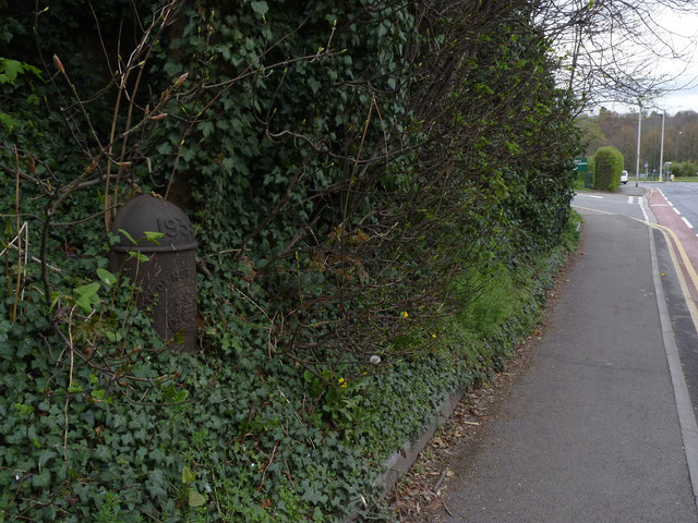
Image: © Alan Murray-Rust Taken: 4 Apr 2014
One of the set installed as part of the expansion of the City boundaries in 1933.
Images are licensed for reuse under creativecommons.org/licenses/by-sa/2.0
Image Location
Latitude
52.93261
Longitude
-1.206251