Dawes House across Orb Street, from Nursery Row Park, Walworth
Introduction
The photograph on this page of Dawes House across Orb Street, from Nursery Row Park, Walworth by Robin Stott as part of the Geograph project.
The Geograph project started in 2005 with the aim of publishing, organising and preserving representative images for every square kilometre of Great Britain, Ireland and the Isle of Man.

There are currently over 7.5m images from over 14,400 individuals and you can help contribute to the project by visiting https://www.geograph.org.uk
Dawes House across Orb Street, from Nursery Row Park, Walworth
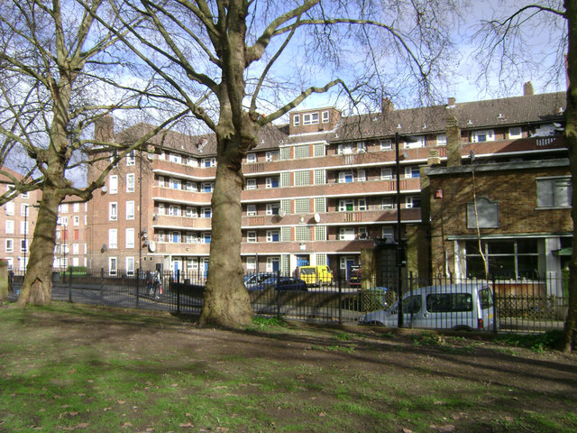
Image: © Robin Stott Taken: 9 Feb 2014
Dawes House is part of the Rodney Estate, presumed to be a housing development by the London County Council in the 1950s. The view is from the older part of Nursery Row Park, with its rows of plane trees. East Street is behind the camera.
Images are licensed for reuse under creativecommons.org/licenses/by-sa/2.0
Image Location
Latitude
51.490329
Longitude
-0.089732