Cottingham Golf Club
Introduction
The photograph on this page of Cottingham Golf Club by George Robinson as part of the Geograph project.
The Geograph project started in 2005 with the aim of publishing, organising and preserving representative images for every square kilometre of Great Britain, Ireland and the Isle of Man.

There are currently over 7.5m images from over 14,400 individuals and you can help contribute to the project by visiting https://www.geograph.org.uk
Cottingham Golf Club
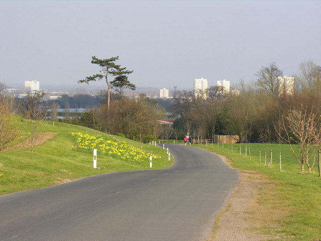
Image: © George Robinson Taken: 7 Apr 2007
View looking eastwards down the approach road to the clubhouse (roof just visible) but offering a fine distant view of the high-rise flats on the North Hull Estate, well to the east of Cottingham.
Images are licensed for reuse under creativecommons.org/licenses/by-sa/2.0
Image Location
Latitude
53.790968
Longitude
-0.431585