Playpark platform
Introduction
The photograph on this page of Playpark platform by Alec MacKinnon as part of the Geograph project.
The Geograph project started in 2005 with the aim of publishing, organising and preserving representative images for every square kilometre of Great Britain, Ireland and the Isle of Man.

There are currently over 7.5m images from over 14,400 individuals and you can help contribute to the project by visiting https://www.geograph.org.uk
Playpark platform
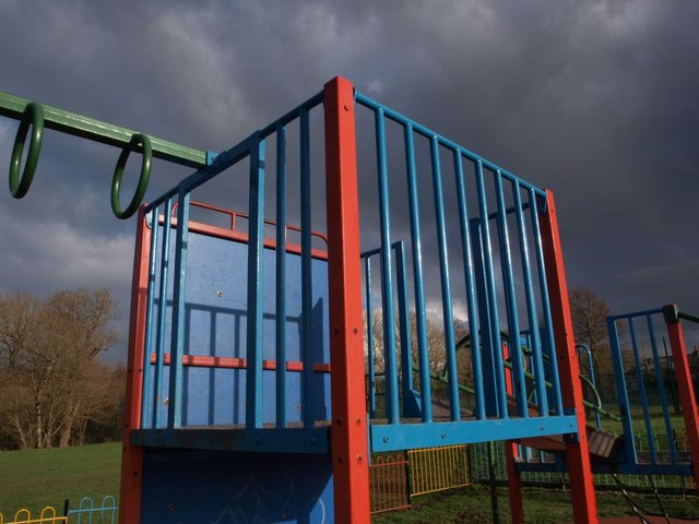
Image: © Alec MacKinnon Taken: 7 Apr 2014
The playpark beside Netherlee Pavilion includes the usual collection of swings, see-saws, chutes, hoops to hang off and wee platforms from which to launch oneself, like the one shown here.
Images are licensed for reuse under creativecommons.org/licenses/by-sa/2.0
Image Location
Latitude
55.802003
Longitude
-4.266808