Looking across to Ash Island
Introduction
The photograph on this page of Looking across to Ash Island by Marathon as part of the Geograph project.
The Geograph project started in 2005 with the aim of publishing, organising and preserving representative images for every square kilometre of Great Britain, Ireland and the Isle of Man.

There are currently over 7.5m images from over 14,400 individuals and you can help contribute to the project by visiting https://www.geograph.org.uk
Looking across to Ash Island
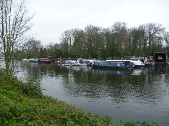
Image: © Marathon Taken: 2 Apr 2014
This is the view from the Barge Walk, which is the Thames towpath upriver of Hampton Court Bridge. Ash Island is largely wooded but is surrounded for much of the way round by moored boats, except at the north where there is a weir.
Images are licensed for reuse under creativecommons.org/licenses/by-sa/2.0
Image Location
Latitude
51.406958
Longitude
-0.349576