Turn right, Clos Yr Hen Ysgol, Pontardawe
Introduction
The photograph on this page of Turn right, Clos Yr Hen Ysgol, Pontardawe by Jaggery as part of the Geograph project.
The Geograph project started in 2005 with the aim of publishing, organising and preserving representative images for every square kilometre of Great Britain, Ireland and the Isle of Man.

There are currently over 7.5m images from over 14,400 individuals and you can help contribute to the project by visiting https://www.geograph.org.uk
Turn right, Clos Yr Hen Ysgol, Pontardawe
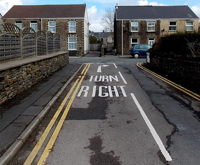
Image: © Jaggery Taken: 1 Mar 2014
Looking towards Thomas Street. Leftist tendencies for vehicle drivers are illegal here.
Images are licensed for reuse under creativecommons.org/licenses/by-sa/2.0
Image Location
Latitude
51.72169
Longitude
-3.84882