Roadside House
Introduction
The photograph on this page of Roadside House by Tony Atkin as part of the Geograph project.
The Geograph project started in 2005 with the aim of publishing, organising and preserving representative images for every square kilometre of Great Britain, Ireland and the Isle of Man.

There are currently over 7.5m images from over 14,400 individuals and you can help contribute to the project by visiting https://www.geograph.org.uk
Roadside House
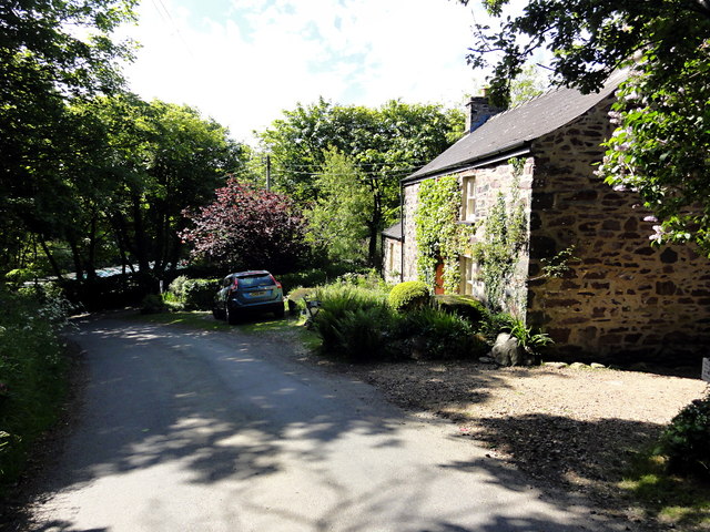
Image: © Tony Atkin Taken: 5 Jun 2013
This road runs across the Aber Bach valley. If you want to get to the coast from here a footpath runs to Aber Bach from the side of this house.
Images are licensed for reuse under creativecommons.org/licenses/by-sa/2.0
Image Location


Leaflet Map data © OpenStreetMap
Latitude
51.972497
Longitude
-5.069979