Byway from Loveden Hill
Introduction
The photograph on this page of Byway from Loveden Hill by Ken Brockway as part of the Geograph project.
The Geograph project started in 2005 with the aim of publishing, organising and preserving representative images for every square kilometre of Great Britain, Ireland and the Isle of Man.

There are currently over 7.5m images from over 14,400 individuals and you can help contribute to the project by visiting https://www.geograph.org.uk
Byway from Loveden Hill
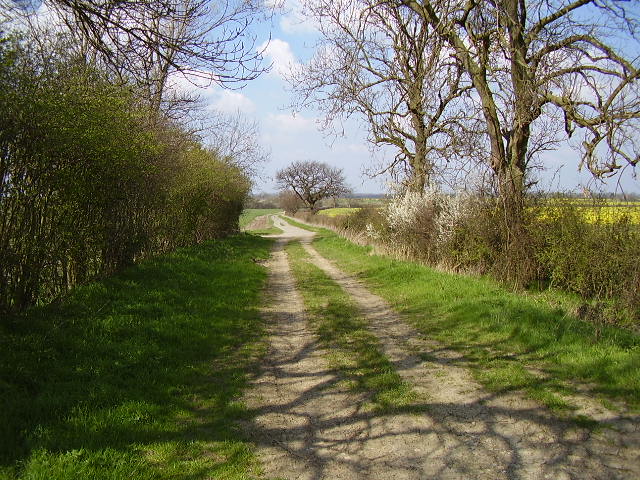
Image: © Ken Brockway Taken: 7 Apr 2007
The Byway Open to All Traffic (BOAT) joins the metalled road. This one is still open to all traffic but the signs are left blank giving no indication of the highway status.
Images are licensed for reuse under creativecommons.org/licenses/by-sa/2.0
Image Location
Latitude
53.005094
Longitude
-0.650685