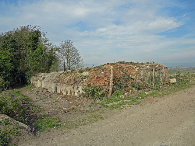
Tramway embankment: Burham
Introduction
The photograph on this page of Tramway embankment: Burham by Dylan Moore as part of the Geograph project.
The Geograph project started in 2005 with the aim of publishing, organising and preserving representative images for every square kilometre of Great Britain, Ireland and the Isle of Man.
There are currently over 7.5m images from over 14,400 individuals and you can help contribute to the project by visiting https://www.geograph.org.uk

Image: © Dylan Moore Taken: 2 Apr 2014
The path to the left ran along the southern boundary of the West Kent cement plant which operated from 1877 to 1925. Chalk and marl was brought to the plant by tramway passing along the embankment of which this is the somewhat eroded base. The tramway bridged the road here, and brickwork of the bridge is still visible. From 1905, rotary kilns were installed, with the stack just to the right of this. For more information, see www.cementkilns.co.uk/cement_kiln_west_kent.html.

